Learn
Explore the NANA Region
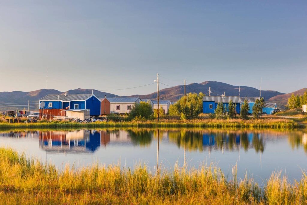
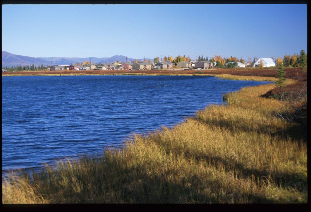
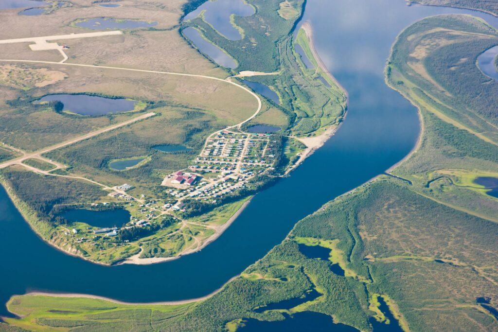
Nestled in Northwest Alaska and largely above the Arctic Circle, the NANA Region spans 38,000 square miles and encompasses 11 distinct village communities.
NANA Regional Corporation, formed under the Alaska Native Claims Settlement Act (ANCSA) of 1971 and owned by over 15,000 Iñupiat shareholders, epitomizes their heritage and dedication to land stewardship.
Iñupiat Core Principles
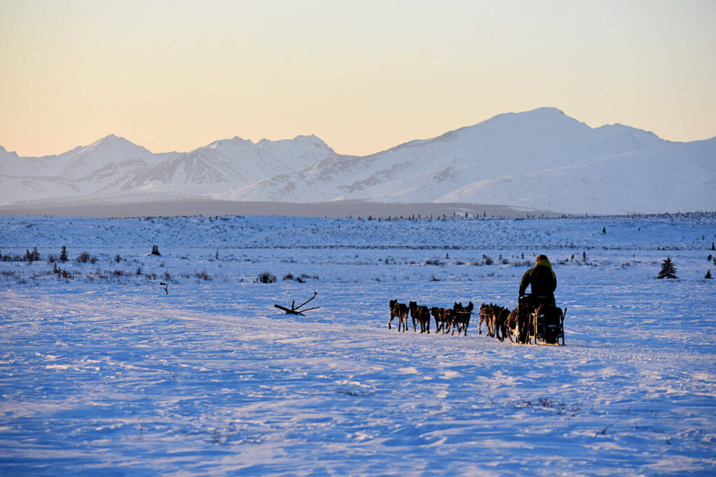
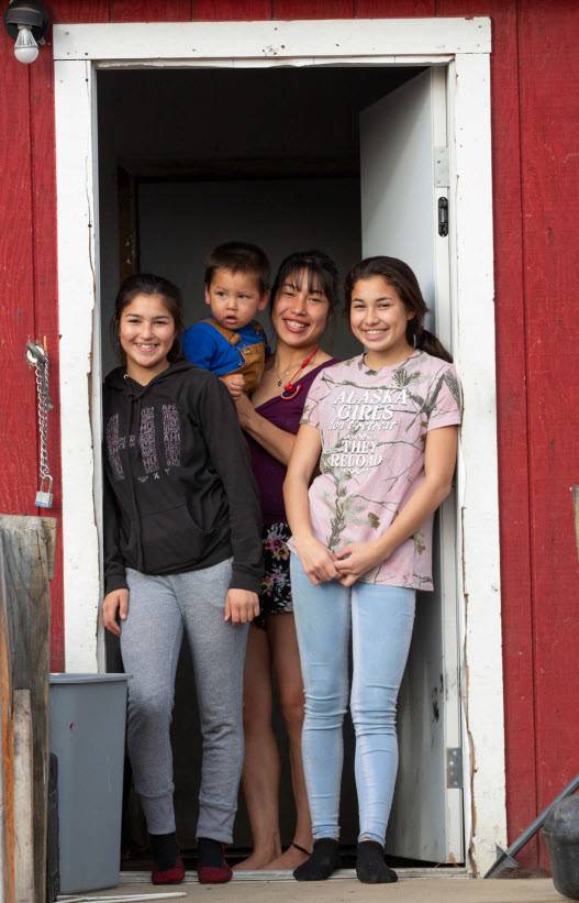
In the vast and rugged expanse of the Arctic, where beauty and harshness weave together, thrives the resilient Iñupiat community. The term “Iñupiaq” translates to “real people,” reflecting not only their identity but also their rich language. At the heart of NANA, an Iñupiat-owned organization dedicated to preserving their traditional way of life, is the symbol of an Iñupiaq hunter striving for a promising future. This imagery encapsulates NANA’s collective spirit of courage, humility, and integrity—values that have sustained the Iñupiat for generations.
Deeply woven into Iñupiat culture are the foundational principles of respect for nature, cooperation, and a profound spirituality. Elders hold places of honor, imparting their wisdom to guide the community. Cooperation and mutual support are vital for survival in the Arctic, and spiritual beliefs add depth to their existence. Humor and joy punctuate daily life, fostering positive interactions and relationships. Emphasizing peace over conflict, the Iñupiat culture is a tapestry of understanding and compassion.
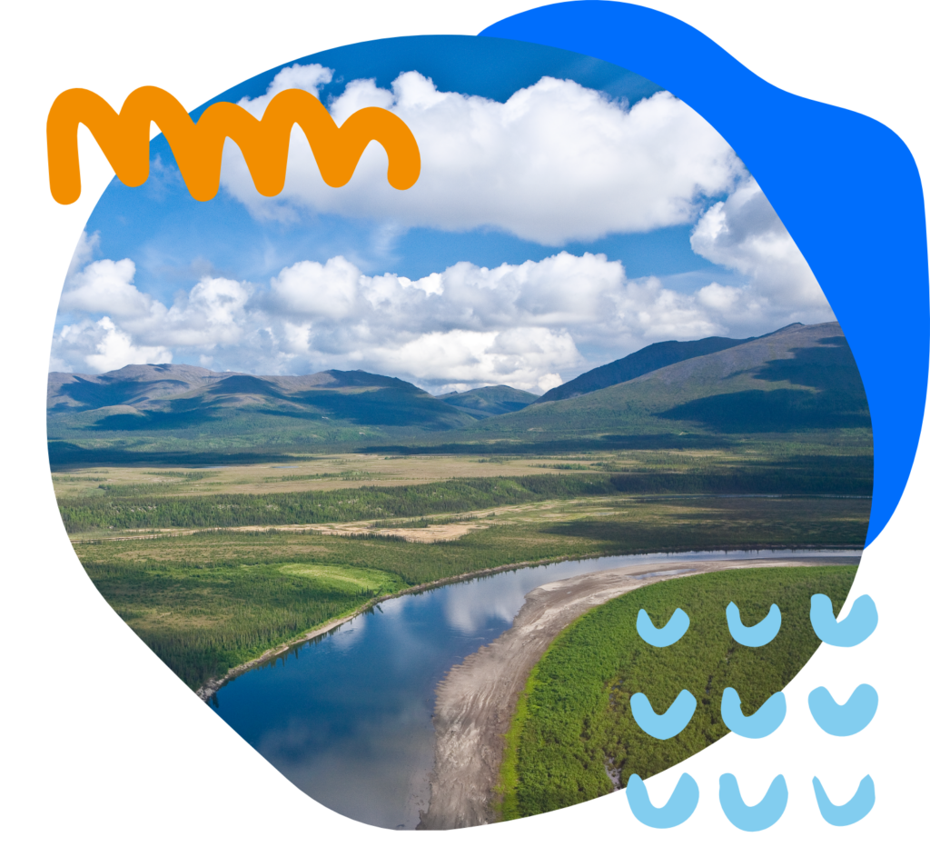
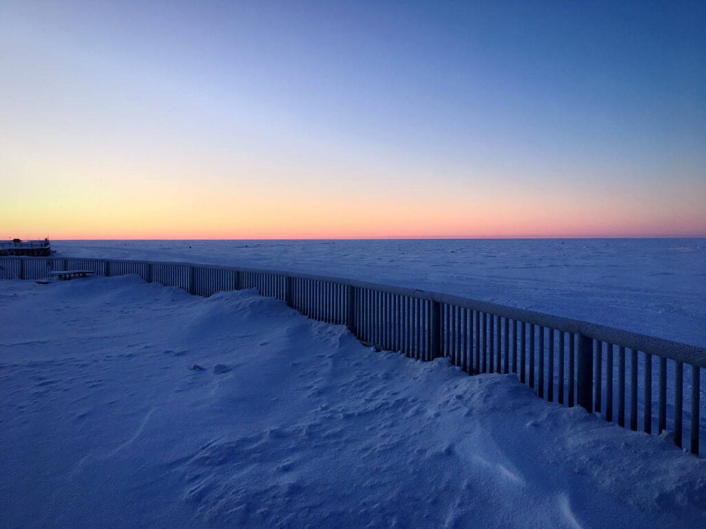
A Unique and Challenging Environment
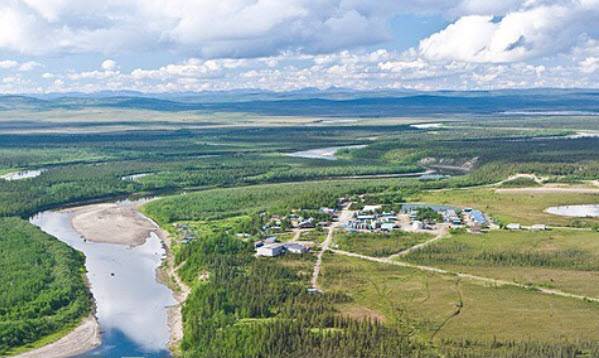
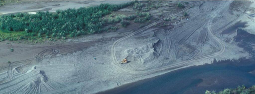
Life in the NANA Region poses many challenges due to its harsh and remote conditions.
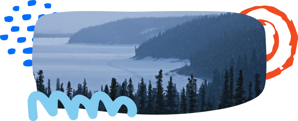
For instance, the Iñupiat are witnessing the erosion of their ancestral language, which is vital to their cultural heritage. Economic and social disparities exacerbate these issues, as many struggle with high living costs, poverty, and limited educational opportunities. Housing and food insecurities further strain the community, alongside the impacts of climate change, which disrupt essential hunting practices.
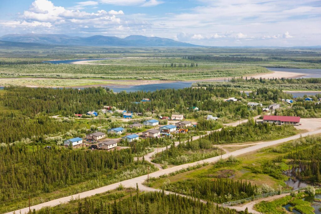
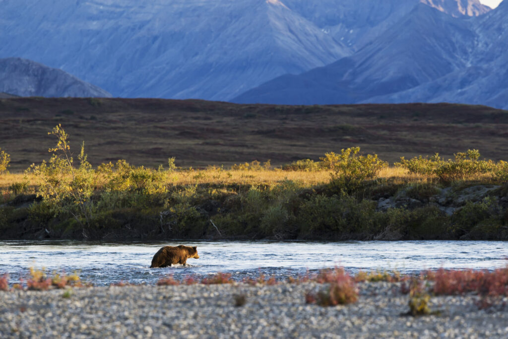
NANA Region Villages
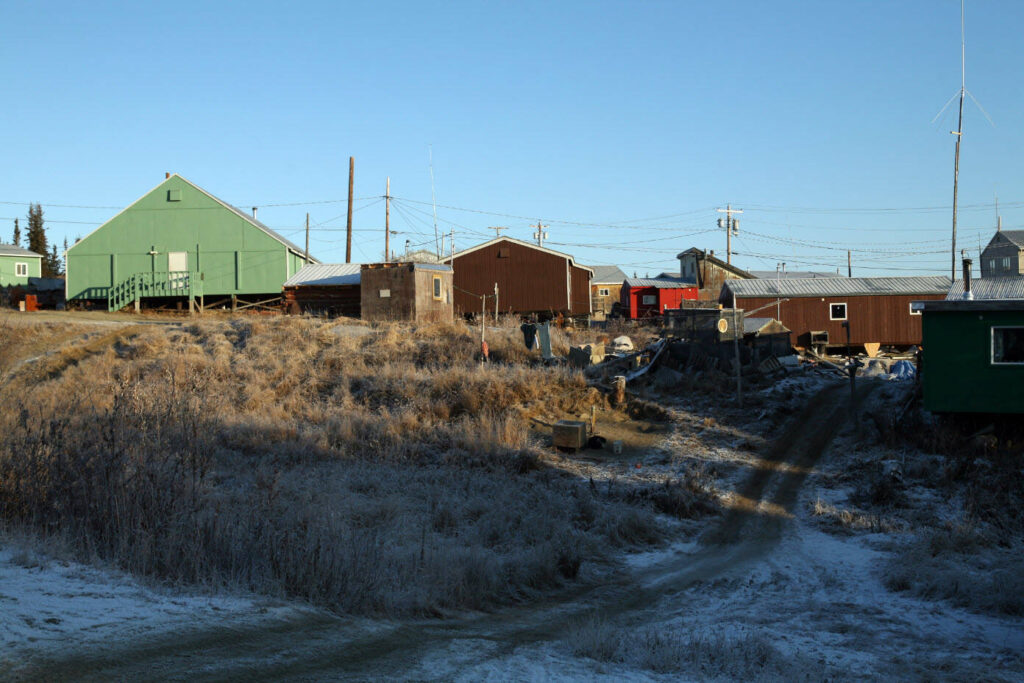
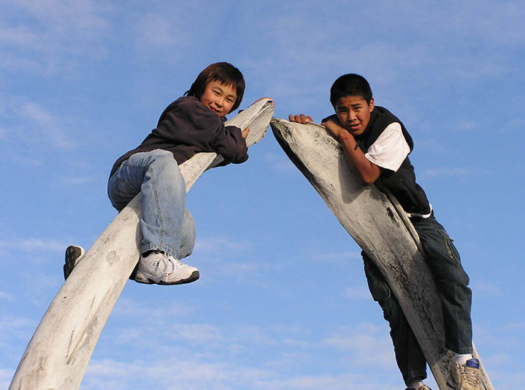
These communities house federally recognized tribes predominantly inhabited by the Iñupiat, notable for their rich cultural heritage and traditional subsistence lifestyles. They hunt local wildlife such as walrus, seals, whales, and caribou, and cherish vibrant traditions like native dance and traditional art made from using every part of the animals they hunt.
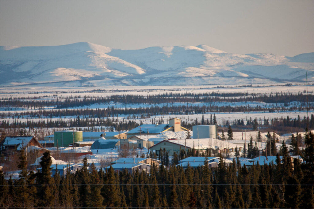
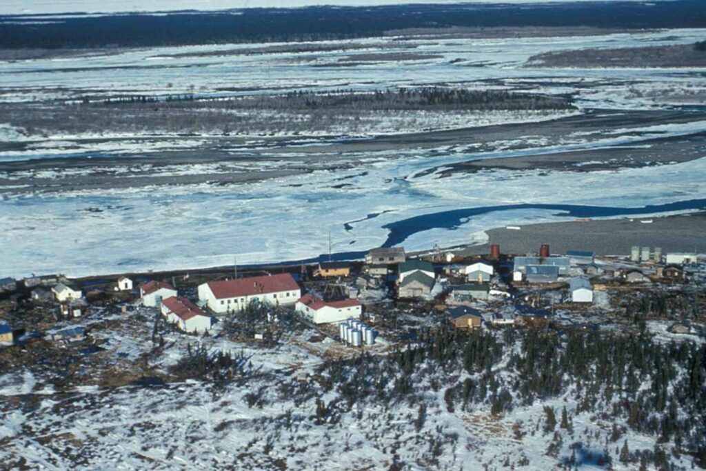
Iñupiaq Name: Ivisaappaat
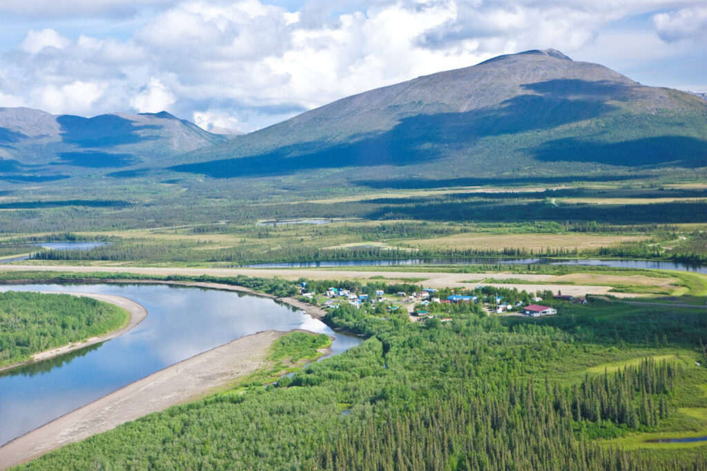
Ambler is the newest of the NANA region’s 11 villages. It was permanently settled in 1958 when villagers from Shungnak and Kobuk moved upstream in pursuit of the wide variety of fish and game in the Ambler region.
Ambler is near Onion Portage, a site where archaeologists have found evidence from nine different cultures, dating back at least 8,000 years.
Native Name Translation: Their red ochre
Climate Zone: Arctic
Temp. Extremes: -60 to 90 °F
Avg. Annual Snowfall: 60 inches
Location: North bank of the Kobuk River, 45 miles north of the Arctic Circle
Incorporated in 1971
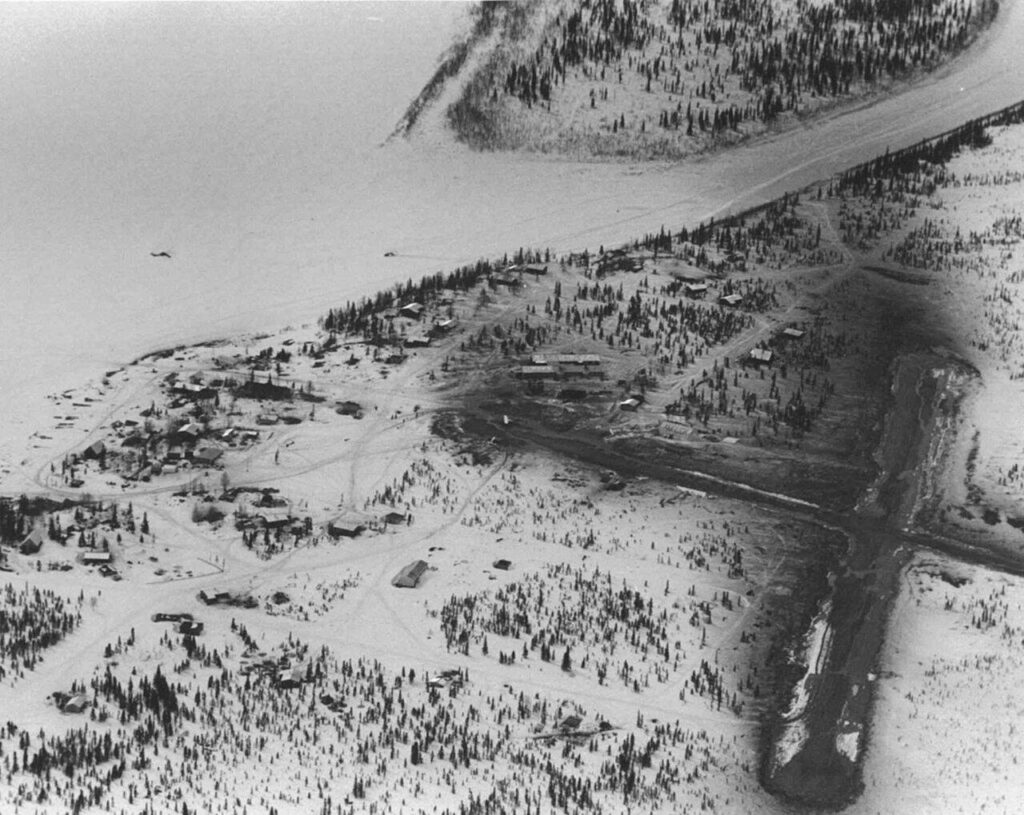
Iñupiaq Name: Nunatchiaq
Fossils found in Buckland indicate that the area was inhabited in prehistoric times. The village has undergone several relocations along the river in recent history. A large caribou herd remains near the village nearly all year, providing one of the town’s major food sources.
The mascot of Buckland’s school is a beluga whale, an animal that has long been central to the subsistence lifestyle of the Iñupiat.
Native Name Translation: New site
Climate Zone: Arctic
Temp. Extremes: -60 to 85 °F
Avg. Annual Snowfall: 40 inches
Location: West bank of the Buckland River, 40 miles below the Arctic Circle
Incorporated in 1966
Iñupiaq Name: Ipnatchiaq
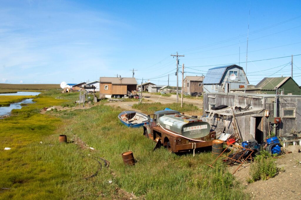
Deering was first settled in 1901 as a supply site for gold mining. Before becoming a year-round settlement, the area was used seasonally by the lnmachukmiut, or the people of the lnmachuk River.
The village is thought to be named after the schooner Abbie M. Deering, which was located in nearby waters before being lost in 1903.
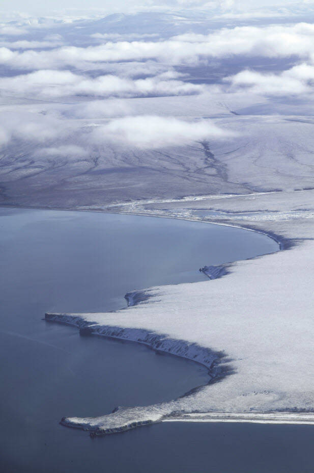
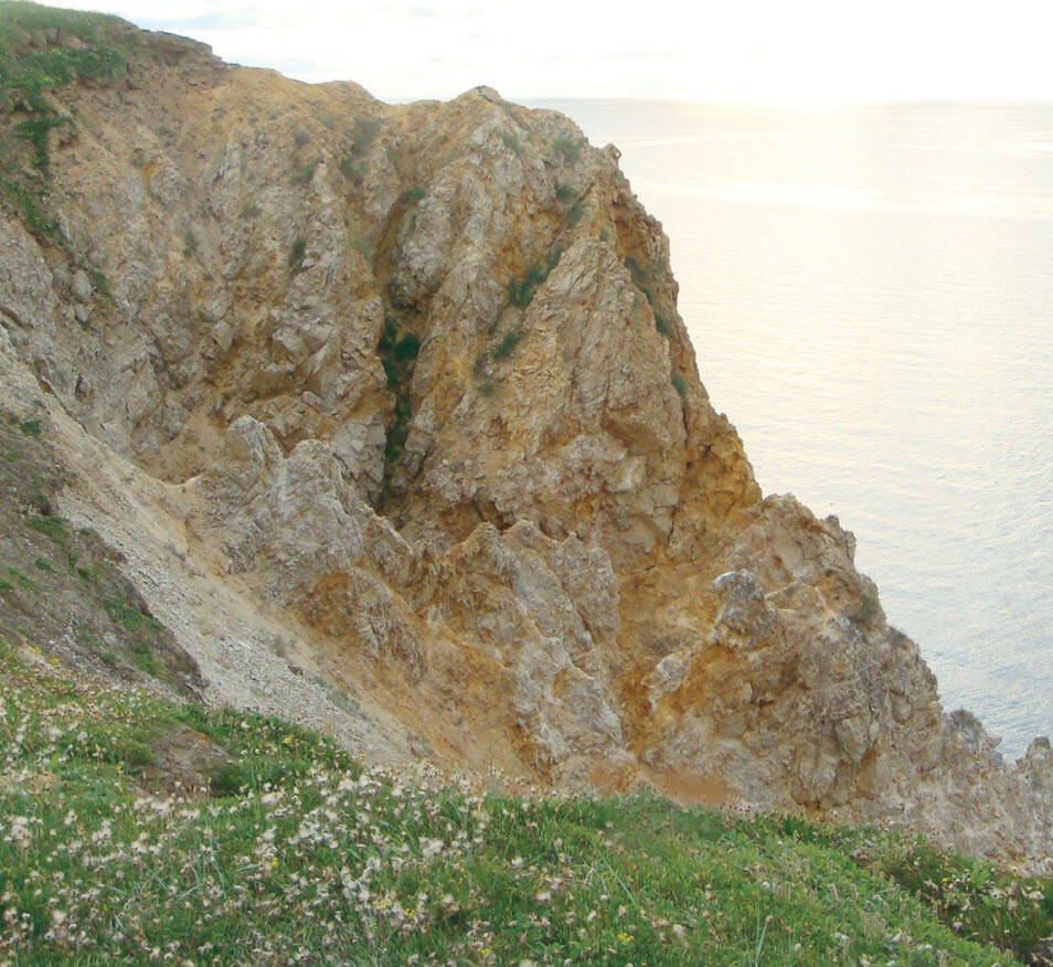
Native Name Translation: Between bluffs
Climate Zone: Arctic
Temp. Extremes: -60 to 85 °F
Avg. Annual Snowfall: 36 inches
Location: At the mouth of the lnmachuk River, on a sand and gravel spit 7 feet above sea level
Incorporated in 1970
Iñupiaq Name: Katyaak
Kiana was established long ago as an Iñupiat village, and in 1909 became a supply center for the Squirrel River placer mine (a type of mine that uses water to separate ore from sediment).
Kiana is located near Kobuk Valley National Park, home to the Great Kobuk Sand Dunes.
Native Name Translation: A place where three rivers meet
Climate Zone: Transitional
Temp. Extremes: -54 to 87 °F
Avg. Annual Snowfall: 60 inches
Location: North bank of the Kobuk River, 57 air miles east of Kotzebue
Incorporated in 1964
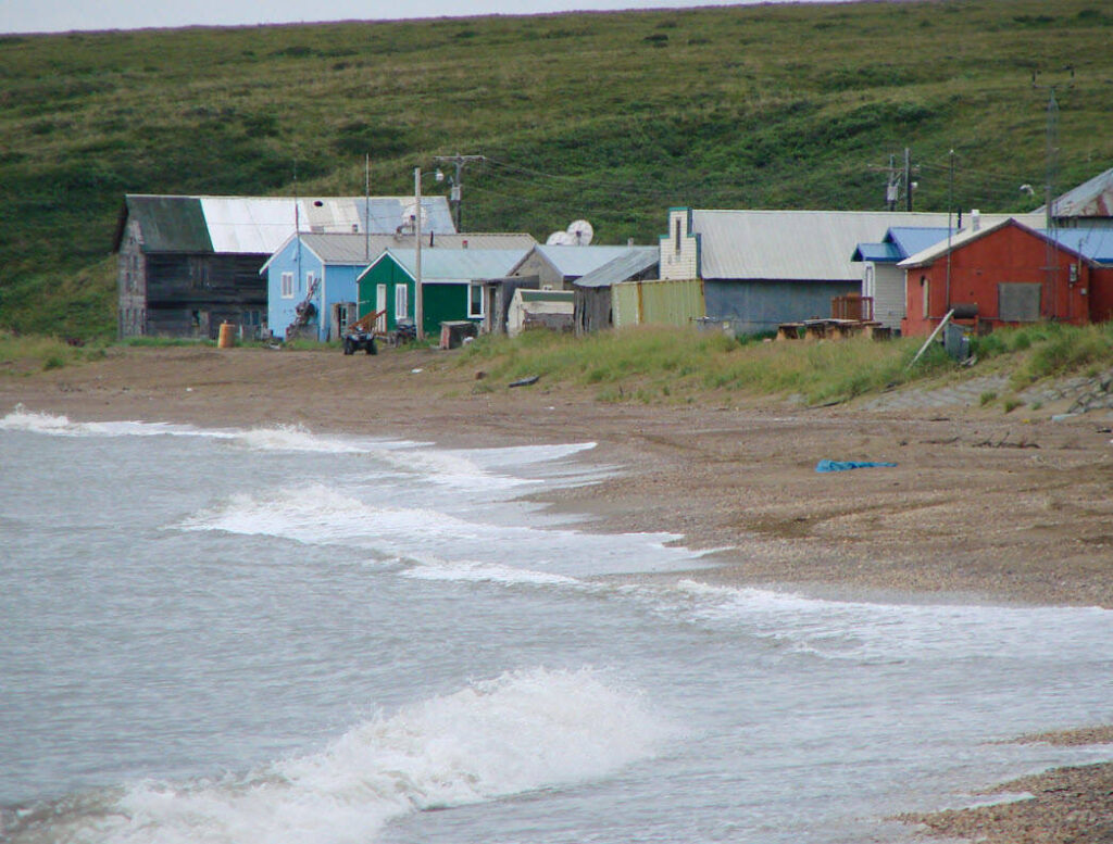
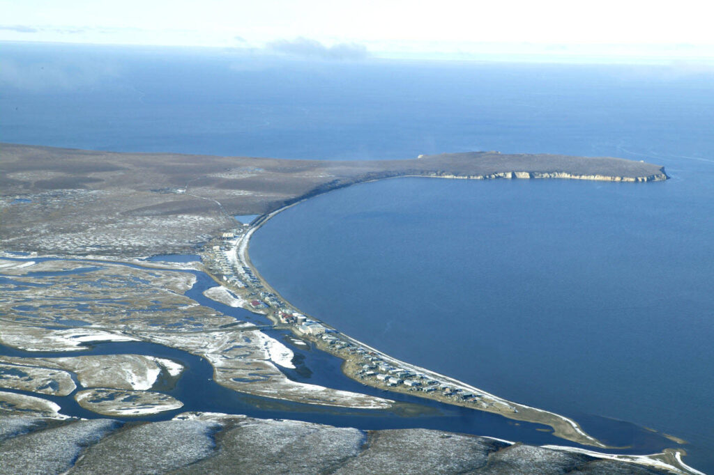
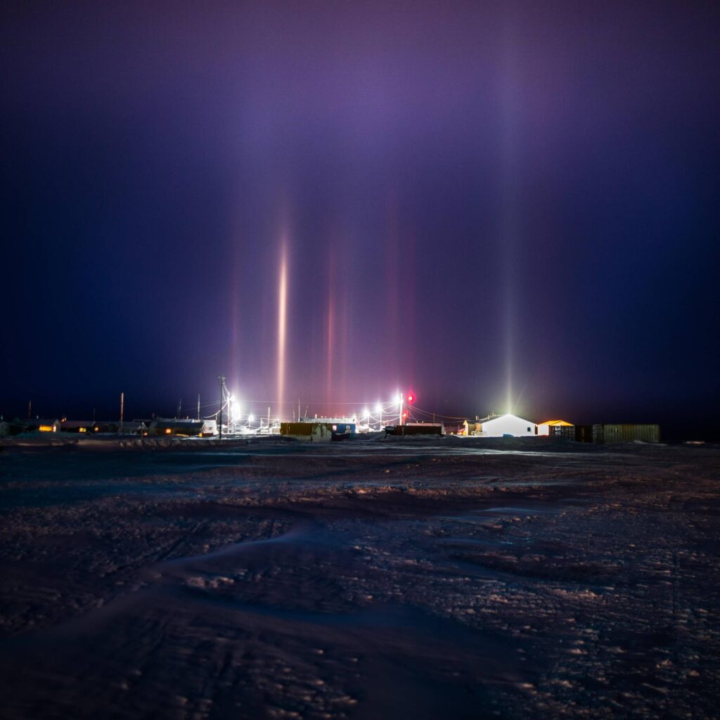
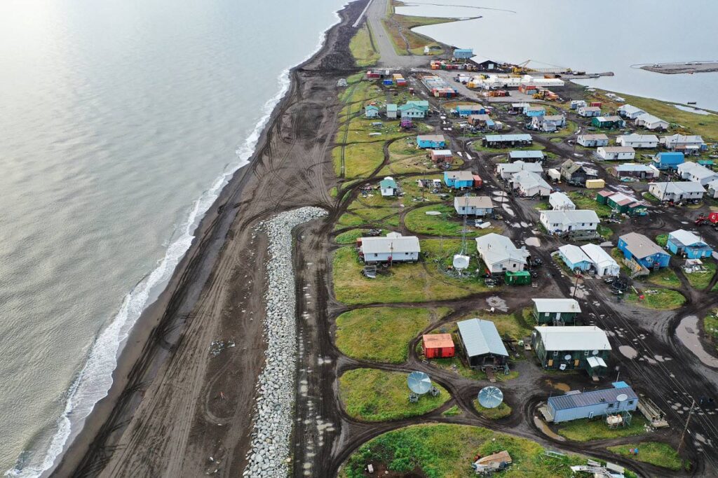
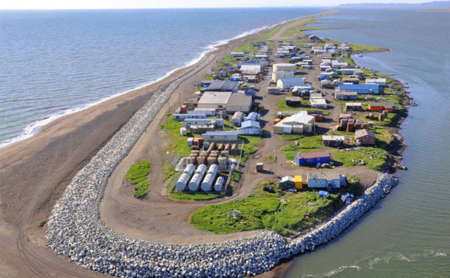
Iñupiaq Name: Siñġaġmiut
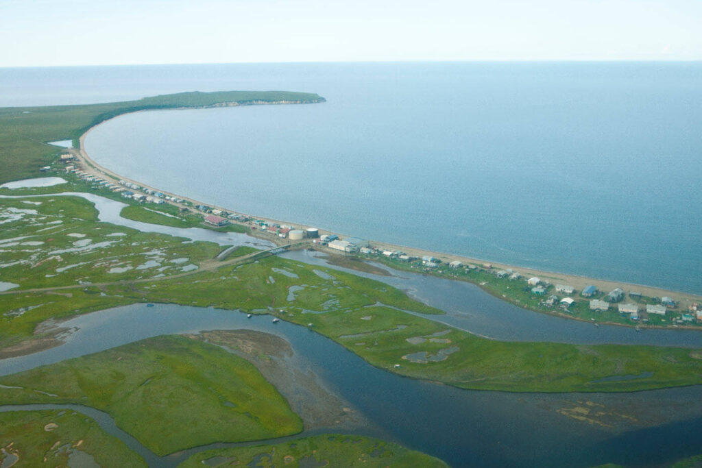
The community of Kivalina is the only village in the Northwest Arctic Borough that hunts the bowhead whale. Because of its coastal location, Kivalina has traditionally served as a stopping place for people traveling by boat from the Arctic coast to Kotzebue Sound.
Kivalina is considered by scientists to be a harbinger of the catastrophic effects of climate change. The town faces relocation or complete destruction within the next few decades due to erosion and melting permafrost.
Native Name Translation: The side to the right when facing the coast
Climate Zone: Transitional
Temp. Extremes: -54 to 85 °F
Avg. Annual Snowfall: 60 inches
Location: The south tip of a barrier island between the Chukchi Sea and a lagoon at the mouth of the Kivalina River, 83 miles north of the Arctic Circle
Incorporated in 1964

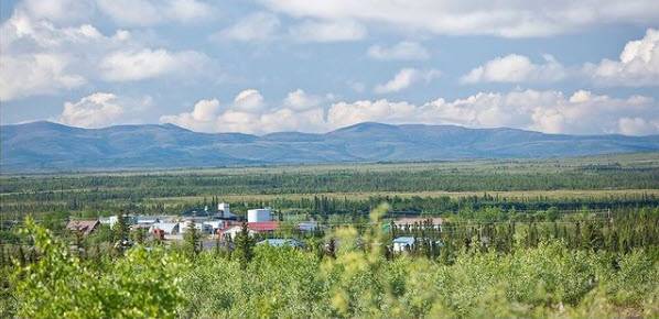
Iñupiaq Name: Laugviik
When Kobuk was founded in 1899, it was called Shungnak, and served as a supply point for miners. In the 1920s, flooding and erosion prompted most of the villagers to move to a new location, bringing their village name with them. The remaining inhabitants renamed the original village Kobuk.
In 1973, a flood engulfed the entire village.
Climate Zone: Transitional
Temp. Extremes: -68 to 90 °F
Avg. Annual Snowfall: 56 inches
Location: On the banks of the Kobuk River, about 7 miles from Shungnak
Incorporated in 1973
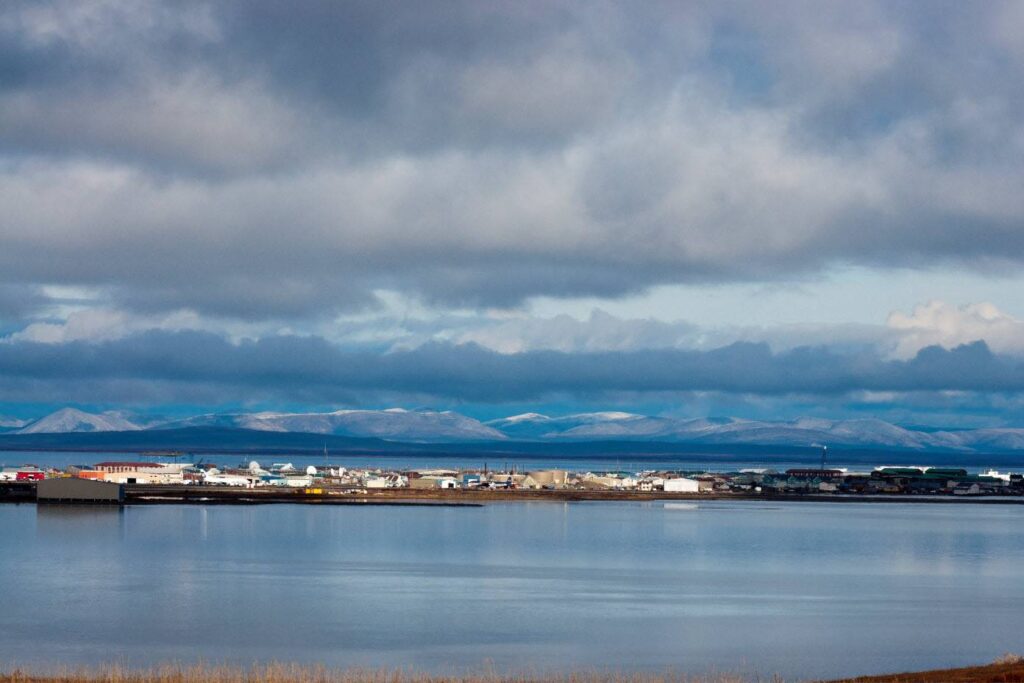
Iñupiaq Name: Qiqiktaġruk
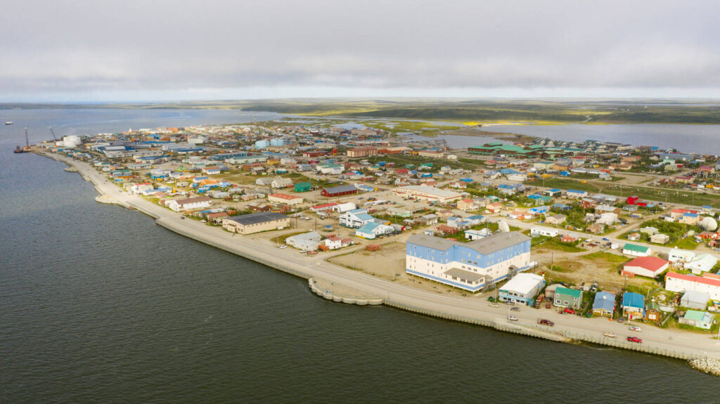
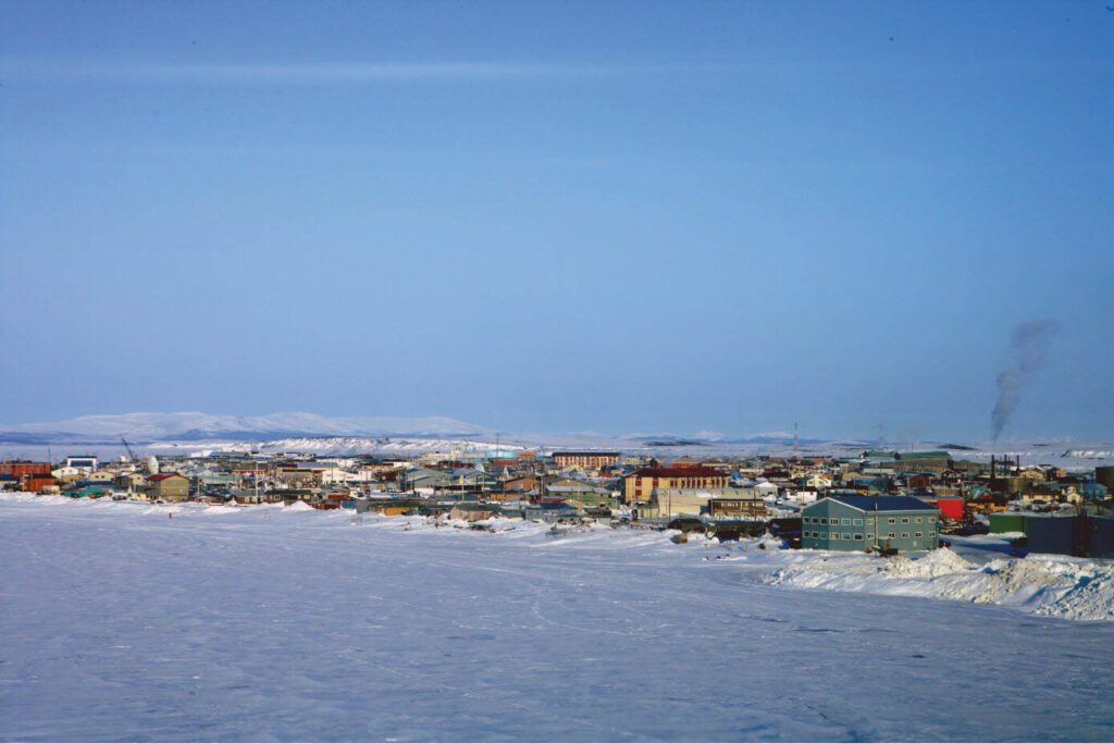
Kotzebue is the hub of the NANA region and the Northwest Arctic Borough. As the largest village, it has a hospital, multiple airlines, numerous stores and restaurants, and a University of Alaska satellite campus. With its Kikiktagruk Iñupiat Corporation, it serves as a cultural and economic hub highlighting the region’s bigger picture.
Kotzebue is located on a peninsula at the end of what is thought to have been the Bering Land Bridge over which people first migrated to Alaska from Siberia. The site has been inhabited by the Iñupiat for at least 600 years.
Barack Obama visited Kotzebue in 2015, making him the first sitting U.S. President to travel above the Arctic Circle.
Native Name Translation: Almost an island
Climate Zone: Transitional
Temp. Extremes: -40 to 80°F
Avg. Annual Snowfall: 40 inches
Location: On the Baldwin Peninsula in Kotzebue Sound, near the discharges of the Kobuk, Noatak, and Selawik Rivers; 26 miles above the Arctic Circle
Incorporated in 1958


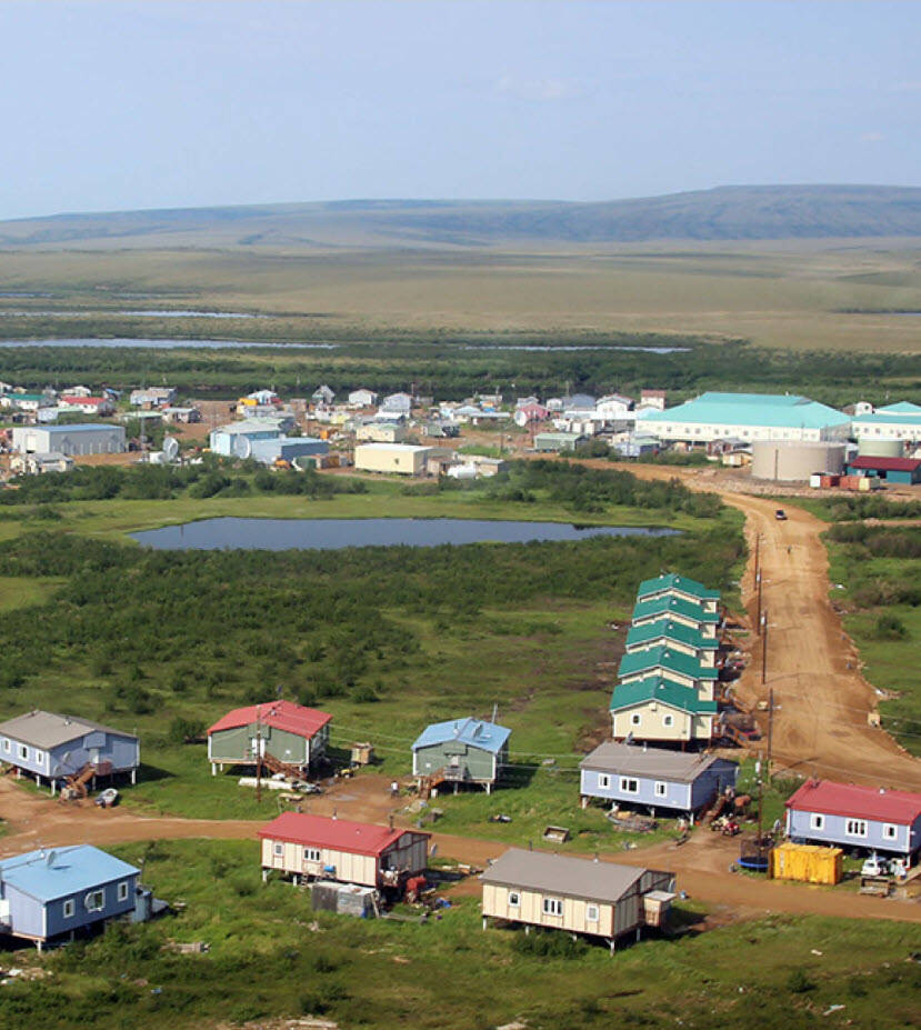
Iñupiaq Name: Napaaqtuġmiut
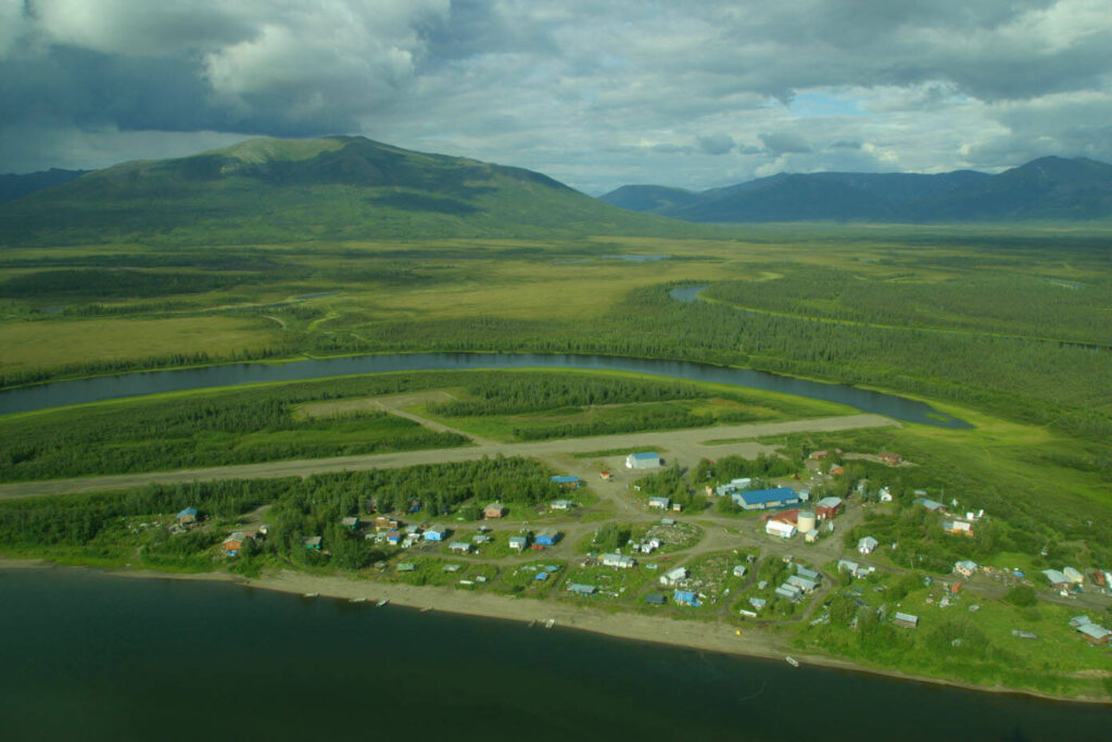
Noatak is the only settlement on the Noatak River, established as a hunting and fishing camp in the 1890s. The area has been inhabited for at least 5,000 years because of its access to resources like game, fish, and firewood.
Noatak National Preserve covers an area of more than 6.5 million acres; Alaska Natives’ right to practice subsistence fishing, hunting, and gathering in the national park area is protected by law.
Native Name Translation: Mountain tops
Climate Zone: Transitional
Temp. Extremes: -59 to 75°F
Avg. Annual Snowfall: 48 inches
Location: West bank of the Noatak River, 70 miles north of the Arctic Circle
Unincorporated

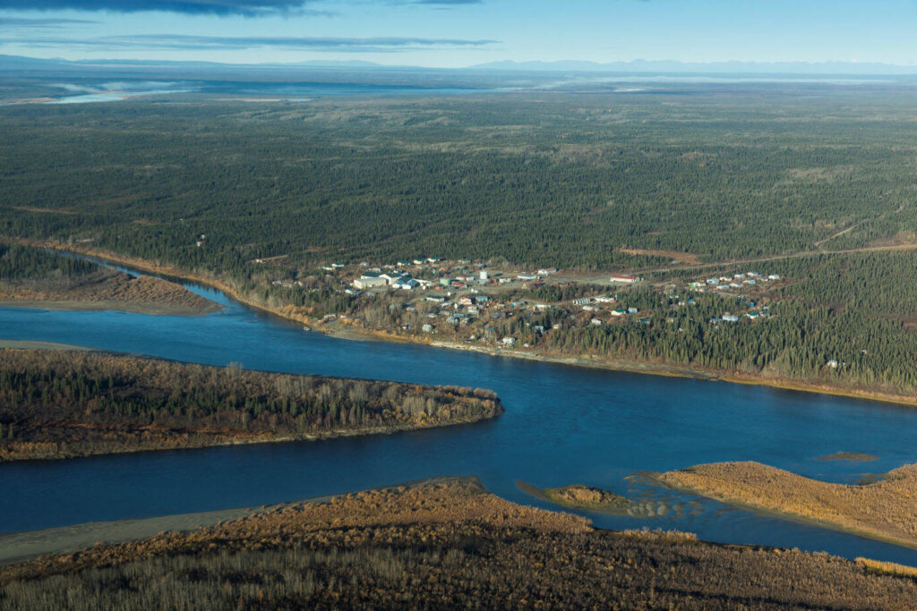
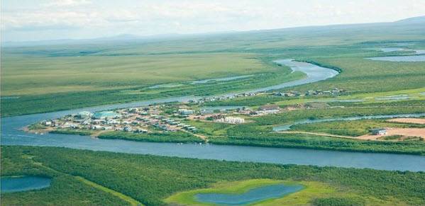
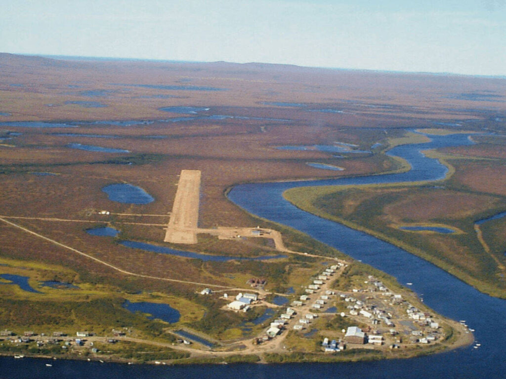
Iñupiaq Name: Nuurvik
Two groups of people established Noorvik: Kowagmuit lñupiat fishermen and hunters from Deering and people from an area a few miles upriver, known as Oksik. Noorvik is located within the Selawik National Wildlife Refuge.
Alaska First Lady Rose Dunleavy grew up in Noorvik.
Native Name Translation: A place that is moved to
Climate Zone: Transitional
Temp. Extremes: -54 to 87°F
Avg. Annual Snowfall: 60 inches
Location: South bank of the Nazuruk Channel of the Kobuk River, near the southern border of the Kobuk Valley National Park
Incorporated in 1964
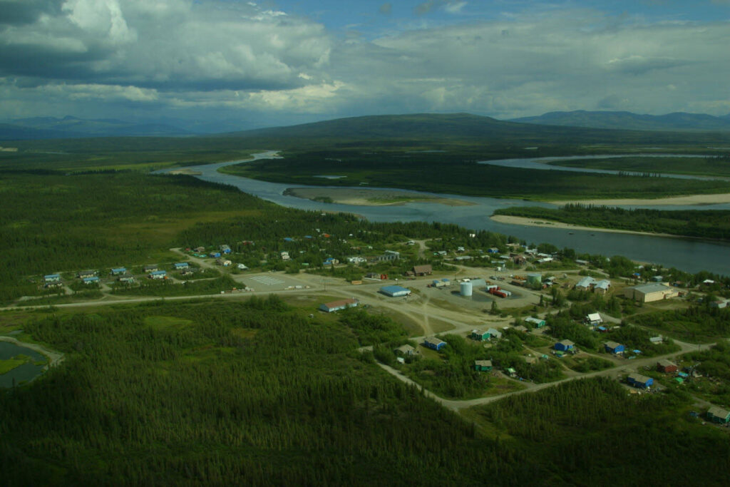
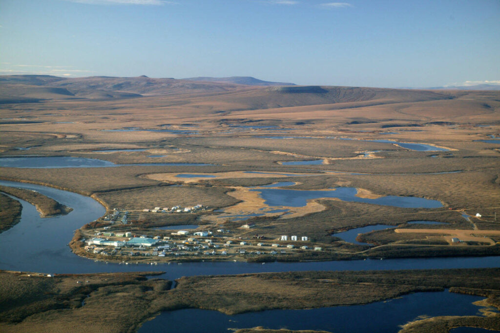
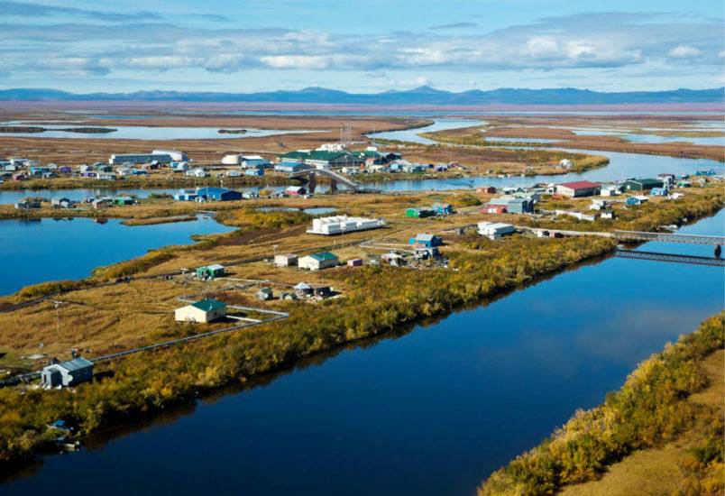
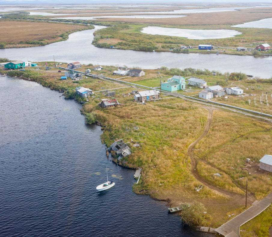
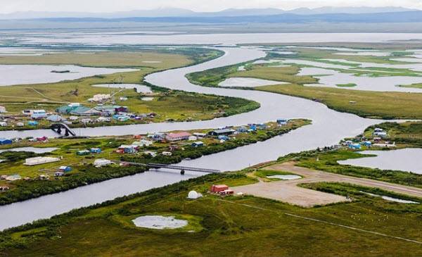
Iñupiaq Name: Akuligaq
The Selawik area has been inhabited for at least 10,000 years. The village spans three rivers, and land areas are connected by a series of bridges and boardwalks. The village is located within the 2.15-million-acre Selawik National Wildlife Refuge, an important breeding area for migratory birds.
More than 180 species of birds have been documented on the Refuge.
Native Name Translation: Land between confluence of two rivers; Selawik comes from the Iñupiaq word meaning “place for sheefish”
Climate Zone: Arctic
Temp. Extremes: -50 to 83° F
Avg. Annual Snowfall: 40 inches
Location: At the mouth of the Selawik River near Selawik Lake, about 90 miles east of Kotzebue
Incorporated in 1974
Iñupiaq Name: Isiŋnaq
Originally located 10 miles upstream at what is now the location of Kobuk, residents of Shungnak were forced to move to the current location in the 1920s because of flooding caused by erosion.
Shungnak is known for its strong tradition in Native arts and crafts.
Native Name Translation: Derived from the lñupiaq word for jade, which is found in nearby hills
Climate Zone: Transitional
Temp. Extremes: -60 to 90°F
Avg. Annual Snowfall: 80 inches
Location: West bank of the Kobuk River, about 150 air miles east of Kotzebue
Incorporated in 1967